About Me.
I'm a geomatics professional with a background in computer engineering and a passion for leveraging technology to address environmental challenges. My journey has taken me from developing firmware for prosthetics in Iceland to designing data visualizations for public health in Canada, and to UBC's Master of Geomatics in Environmental Management program. My goal, combine my technical expertise in programming and GIS with my love for the outdoors, maps, and conservation.
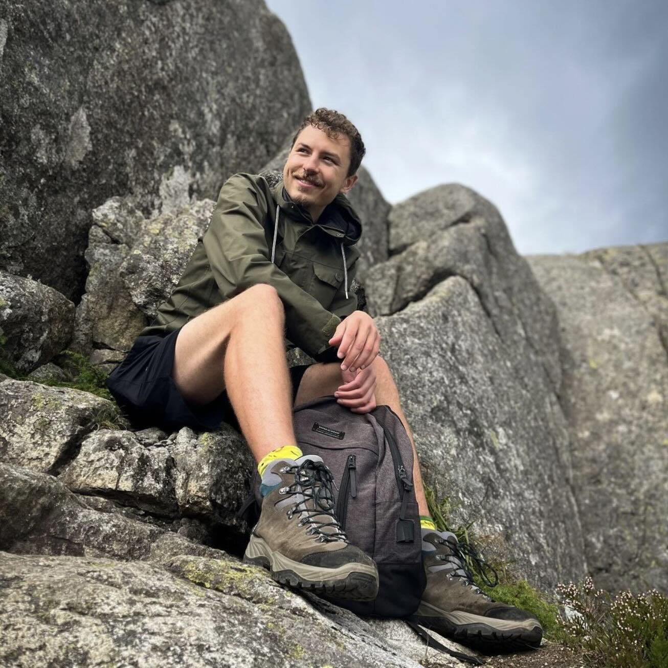
When I'm not working or studying, you can find me hiking, restoring vintage audio gear, or exploring new interests. My career mission? To combine innovation and environmental stewardship, and yes, finally get to "touch grass."
Education
- Master Of Geomatics for Enviromental Management University of British Columbia 2024 — 2025
- BASc Computer Engineering University of Ottawa 2015 — 2019
Experience
- Developer Public Health Agency of Canada 2018 — Present
- Firmware Developer Rianta Solutions 2020 — 2021
- Software & Firmware Intern Össur 2019
Highlighted Projects.
Years of development experience
Experienced in web, software, and firmware development, specializing in data visualizations, interactive maps, and APIs using Python, JavaScript, Flask, and D3.js. Skilled in, streamlining data pipelines, and improving user interfaces. Proficient in solving complex problems and delivering efficient, user-focused solutions.
Year of geomatics experience
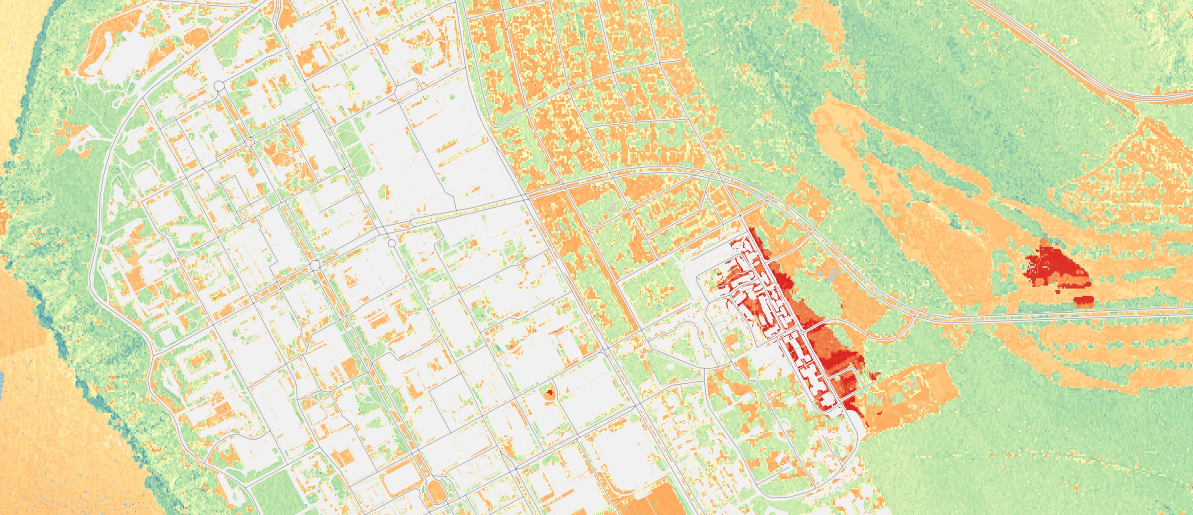
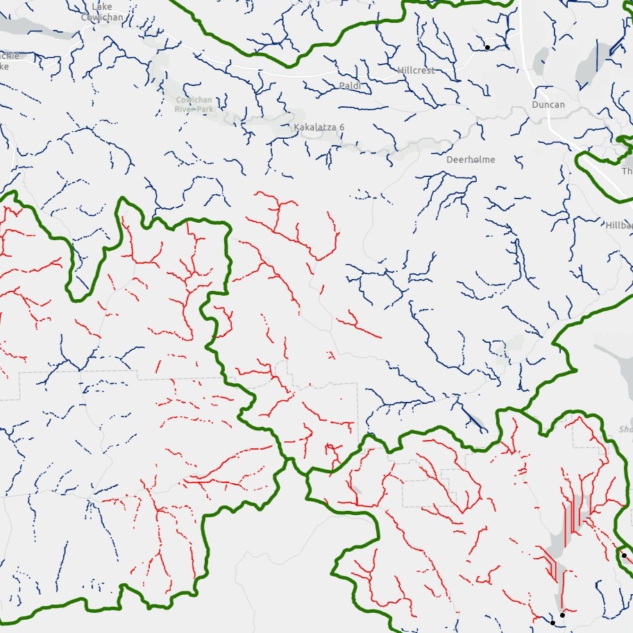
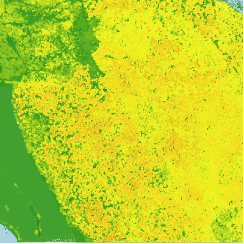
Versed in Landscape Ecology and Management, Remote Sensing for Ecosystem Management, Geographic Information Systems for Forestry and Conservation, Geospatial Data Analysis.
Second Language Test Results
Fluently bilingual in both French and English.
Trees Planted
Volouteering with a quarry restoration project at Thousand Island National Park.